We’ve been making our way east along the Alaska Peninsula, enduring the rain, enjoying some sun, and trying to eat our way through our remaining stores.


Here are some more scenes from Southwest Alaska…
When Short Passages Feel Long
The 3 day/280nm sail from Unalaska Island in the Aleutian Islands to Sand Point in the Shumagin Islands was pretty rough, mostly because the weather forecasting around here is inconsistent at best. We were constantly having to adjust our expectations — and our sails.

The wind gusted, died, and swung around. We turned the engine off, then back on, then off again. We reefed once, twice, shook both reefs out, then reefed again. Approaching the designated fairway for commercial ships using Unimak Pass to cross between the Pacific and the Bering Sea, we had to turn 90 degrees to let a huge container ship pass us and then fall in behind them to avoid another massive ship headed in the opposite direction. In the middle of the night, sailing downwind wing-on-wing, the wind dropped below 3kts and the boat spun around 180 degrees. We got righted and then it happned again. Arrrrggghhhh.
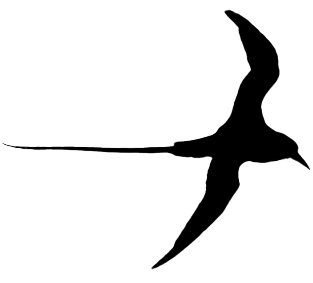
We were passing a group of tiny islands north of Sanak in the dark when we started to hear birds in the sky. Then we saw them illuminated by our running lights. They seemed drawn to the light — and then stunned when they found themselves in the cockpit of a sailboat. Steve had to scoop three of them up off the deck and back into the sky. It’s amazing how much a little thing like that will lift your spirits.
Sand Point Wayfinding


In our limited experience, it’s not always easy to locate things in Sand Point, Alaska (pop. 578). The business identified as The Shop on Google Maps is called Legendary Pizza in real life (and on Facebook), and may be open even when the neon “Open” sign is off. It’s one of three restaurants in town. There also two grocery stores: a smaller one operated by Trident Seafoods and a larger one with no obvious front door. (Steve texted me from inside to tell me how to get in.) But why spend time and money on a legible entry and circulation sequence? This is another remote, friendly fishing town where everyone already knows how to get into the store and probably needs to save their money for groceries.
All of these items cost $13 in Sand Point: a pint of strawberries, a pound of ground beef, a bag of Lay’s potato chips, a pint of Ben & Jerry’s.


Midnight Dinner
Derelof Harbor is another one of those magical places you can only access by boat. The sea stacks and rock arches are dramatic. You can wander the collapsing ghost town of Unga village. And every cast brings up a fish.


We shared the anchorage with Mike and Alisa of Galactic, who settled in Kodiak after spending 10 years sailing around the world with their two sons. They’ve been to most of the places we’ve been and to most of the places we want to go. They’re also marine biologists who study fish populations, so they could tell Paul exactly where to fish and which lures to use — they even gave him a couple of circle hooks for halibut. We enjoyed their company so much that we completely lost track of time and ended up eating dinner (halibut they’d given us) at 11:30pm in full daylight.


Shumagin Geography
The landscape leaving the Shumagin Islands was impressive — lots of rocky sea cliffs with green tops. This is what we imagine New Zealand looks like, though Google thought these images were from Cape Horn and Scotland.


Paul Island
We spent two nights at Kupreanof Harbor between Paul Island and Jacob Island waiting out the weather. It’s a pretty spot, but it rained so much while we were there that we actually made popcorn and watched a movie in the middle of the day. We knew we were in the right place when a couple of fishing boats showed up to shelter from the weather for a few hours.


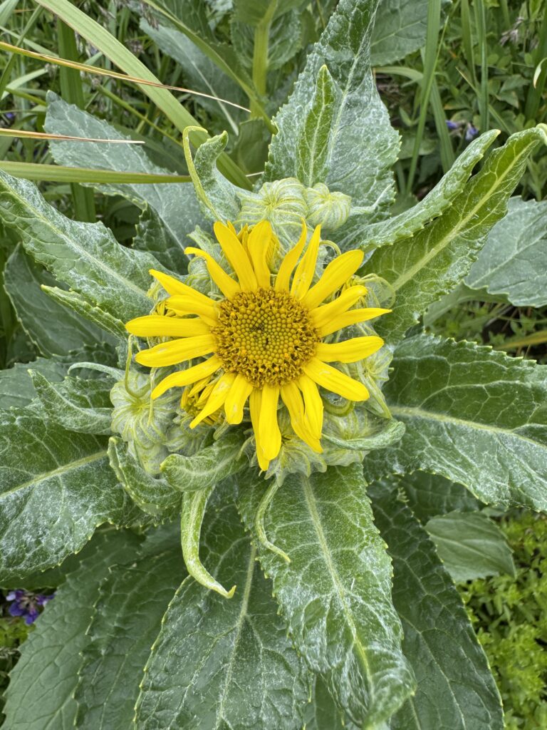
We went ashore mainly so we could say we’d been to Paul Island. We found a bear print in the sand, lots of coastal wildflowers, and not much else.


Back on the Continent
Agripina Bay was our first official stop on the peninsula. We thought we might finally see some trees and were surprised to find that the landscape was dominated by rocky scree fields. We did finally see some bears, though!


We saw a lot of rain at Agripina, but got to shore during a few breaks to explore and exercise our atrophied leg muscles.


Sunbathing with Bears
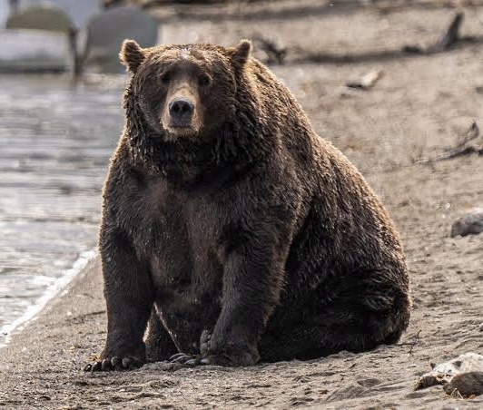
Katmai National Park is known for the gigantic volcanic eruption of 1912 (the largest of the 20th century) and for their annual Fat Bear Week tournament. Here are a couple of the contenders:
We spent three days anchored in Geographic Harbor in Katmai. It’s a frequent stop for bear watchers on seaplanes, but arriving by boat is a special experience. Once you leave Shelikof Strait — between Kodiak Island and the Peninsula — and pass Takli Island, the water becomes a beautiful, glacial green color. You’re funneled towards a narrow channel with a series of little, rocky beaches on either side. When the channel opens up onto a secluded bay surrounded by steep green mountains and waterfalls, you’re greeted by otters floating around the boat and bears roaming the wide tidal flats.


We couldn’t believe our luck when the skies cleared and the sun felt so warm that we could lounge in the cockpit again. It was almost like we were back in the tropics!


And then, the wind came up. It was too windy to safely lift the dinghy off the bow — and it stayed that way for three days. After feeling stuck on the boat because of rain, we were now stuck on the boat because of wind.
We finally moved to the slightly-more-protected east side of the bay and had just enough of a break in the breeze to get the dinghy out for a quick ride before the waves turned us back. We’d hoped to get closer to some bears, but had to settle for what we could see from the boat through binoculars. It was so warm that Steve and Paul declared they were going for a swim, then ultimately decided on outdoor showers.


Resuspended Volcanic Ash
Ash from the 1912 volcanic eruption is still visible in the mountains around Geographic Harbor.

After days of strong winds, we started to notice dust in the air and decided to make a move towards Kodiak. It was even more obvious once we were looking back from Shelikof Strait.

The National Weather Service had issued an air quality warning for resuspended volcanic ash in the area — something that happens a couple of times a year in Katmai. Kevin, our official Alaska expert and personal consultant, told us to wash our boat, glasses, phones, etc. as soon as we could since the volcanic particles act like sandpaper when wiped across a surface.

This is a bittersweet time aboard Flyer. In a couple of weeks, we’ll leave the boat in Alaska and head back to Seattle. To school and work and schedules and traffic. To friends and lattes and big cozy beds and as much fresh produce as we can eat. We’re already thinking about where we’ll take the boat when we come back to Alaska next summer. But before all that, we’ve got to see a glacier!


Leave a Reply